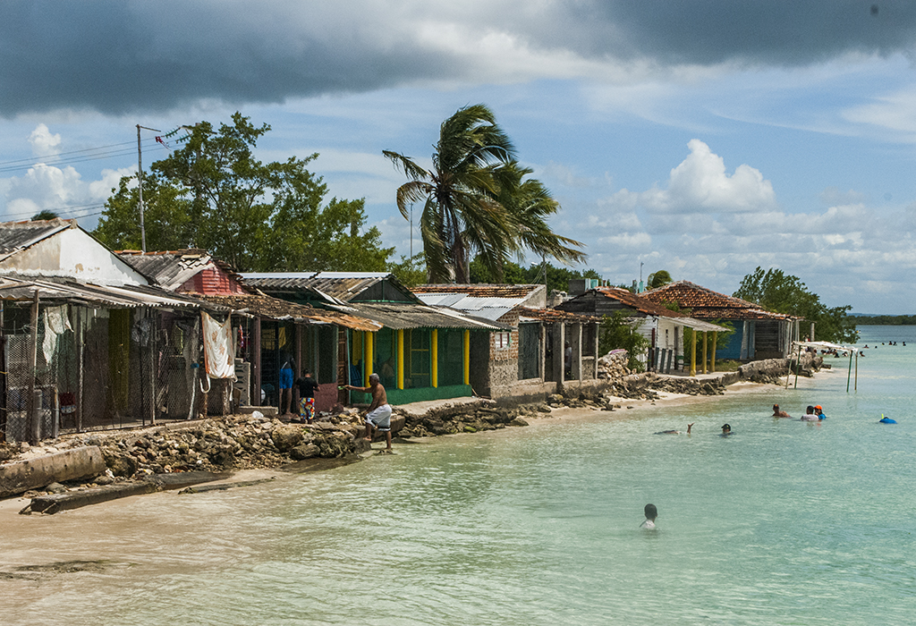
The territorial ordering of coastal towns in this eastern Cuban province is adapted to the accelerated rise in sea level as a result of climate change that will force the relocation of at least 480 homes in these areas in the medium and long term.
Las Tunas, Cuba.- Specialists from the Provincial Directorate of Physical Planning explained that according to research carried out by a team of experts from the institution itself and the Ministry of Science, Technology and Environment (CITMA), the rate of rising of the sea has accelerated so that in 2050 it will rise 0.29 meters and in 2100, 0.95 meters. Previous estimates predicted that by the middle of this century it would rise 0.27 meters and at the end of the century 0.85 meters.
This forced Physical Planning to update its mitigation and adaptation plans regarding the eventual relocation of existing homes on the coastal strip, said its deputy director for land use planning, Ríder Portelles. Our objective, he said, is to evaluate this impact and, in accordance with these forecasts, to identify the homes or facilities that would be affected at that time and for which we suggest adaptation measures. Within this study, their relocation to the highest areas or outside of them is proposed."
Portelles assured that although the evaluations have not concluded, it is evident that a greater rate in the rise in sea level will increase the number of properties that will be affected on the coasts of Las Tunas, either in the middle or at the end of the century. Especially in the eight settlements that would be most affected within the province: Puerto de Manatí in the municipality of Manatí; La Jíbara, El Socucho, La Boca, the lower areas of the city of Puerto Padre, in the municipality of Puerto Padre; Cascarero and La Herradura, in the municipality of Jesús Menéndez; as well as Guayabal in the southern municipality of Amancio. The new evaluations, commented the expert, have already been made in La Jíbara, La Boca and the Port of Manatí.
As part of the Life Task, he specified, the relocation of these buildings to higher areas is scheduled. For this, the reorganization scheme of the settlement as such is made and the partial plan for these actions is drawn up. In the latter, we take into account the urban structure of this new area, the required levels of services, the rest of the basic services infrastructure such as the aqueduct, sewerage, electricity."
According to the deputy director for land use planning in the Provincial Directorate of Physical Planning of Las Tunas, they are currently working together with specialists from the Directorate of Housing for the investments that in this sense will be required both in the medium and long term.
He explained that distribution has been planned, above all, of permanent residents in homes threatened by the sea and include them in the State Plan for the construction of new homes, so that these investments are part of the development programs established by the respective local governments.
At the same time, he insisted, inspection actions have continued to prevent new construction in these protection strips. That surveillance, he said, has already made it possible to identify several of these and take the corresponding preventive measures.